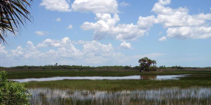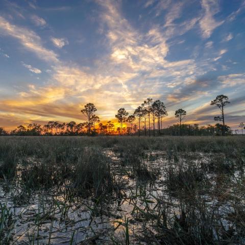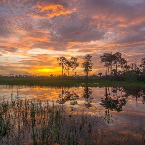
National Park Service officials say no final decision has been made on how much of Big Cypress National Preserve should be set aside as official wilderness/NPS
National Park Service officials say a Wilderness Eligibility Assessment for Big Cypress National Preserve is not necessarily the final word on how much wilderness-quality lands exist in the preserve. A more extensive wilderness study expected to get under way later this year could add to, or reduce, the acreage cited in the assessment, they say.
Conservation groups were alarmed when preserve officials this week released the assessment, which identified 188,323 acres out of 557,065 acres within the original preserve boundaries (not including the Addition Lands added in 1996) as possessing wilderness qualities. National Parks Conservation Association and South Florida Wildlands Association officials said they were particularly concerned by maps accompanying the assessment that indicated lands from which off-road vehicles were banned by the preserve's 2000 ORV Management Plan were back in play for ORV trails.
Bill Reynolds, a spokesman in the Park Service's Southeast Regional Office in Atlanta, said Tuesday that the assessment's findings could be altered by the more formal wilderness study.
“I think it’s important to understand first that this Wilderness Eligibility Assessment is the first step of a process. It’s not a final report. It’s the first step," he said during a phone call. "The preserve is in the process of expanding the scope of its backcountry access plan, and that’s going to allow them to undertake a formal wilderness study that will ultimately result in the final wilderness proposal."
"The wilderness study will allow for lots of public review comments, and the input that we receive from that process will help the Park Service more clearly define the lands to be, ultimately, proposed as wilderness.”
At NPCA, John Adornato III, the organization's Sun Coast regional director, said he remained concerned that the Park Service was trying to roll back some aspects of the 2000 plan.
"While I am pleased to hear that the Park Service is willing to revise their maps, there appears to be a basic premise of NPS that would be at odds with NPCA’s expectations," he said in an email Wednesday. "First off, the trails in Bear Island and Turner River that are drawn in this (Wilderness Assessment) map are directly contradictory to the 2000 ORV management plan. They allow for trails in places that were supposed to be closed due to the sensitivity of wetlands and environment.
"Putting wilderness in those areas is the opposite of what some of the ORVers want. The lack of wilderness designation in the central prairies – where the 2000 ORV management plan said no trails should be -- portends the creation of trails within them. All of those trails are actually drawn in this map," he said. "I look forward to the dialogue with the Park Service and am eager to remind them of the prior commitment of the 2000 plan, which NPCA successfully helped fight to preserve in court."
Mr. Reynolds said no ORV trails would be allowed in areas of the preserve where such trails hadn't previously existed.
"One of the things that we really want to make sure people understand is that the Park Service in the preserve only designates ORV trails along areas that have previously been impacted by ORV use. For the most sensitive habitats, they don’t allow any ORV use," he said. "The preserve protects those sensitive habitats to the maximum extent possible."


 Support Essential Coverage of Essential Places


Comments
Another good story Kurt on one of the last locations in the eastern United States that could qualify for federal wilderness designation. We're happy that NPS is willing to take another look at this issue - but what Mr. Reynolds is not acknowledging in his final comment is that - at one time or another - the entire preserve has been impacted by ORV use and trails. The whole purpose of the ORV Management Plan written in 2000 was to substantially reduce those impacts AND to allow impacted areas to return to a natural condition. Contrary to NPS's findings in their first take - those old dirt trails that are not at all drivable by a regular car - do not preclude an area for being eligible for wilderness. And in much of the area deemed "not eligible" - there's just nothing else out there. The "hand of man" is essentially invisible.
The entire 720,000 acre Big Cypress National Preserve is open 365 days a year, 24/7, to anyone who wants to take a walk and see for themselves what this vast sub-tropical wilderness looks like (but know how to use a handheld GPS, bring lots of food and water and a good first-aid kit - no concessions out there - and read up a bit on "swampwalking" first) . It's an amazing place - with an incredible variety of ecosystems, plants and wildlife. You will get your feet wet - but that's part of the fun. With the closure of illegally opened ORV trails in Bear Island (2012) and secondary ORV trails in other preserve units that NPS has agreed to close in response to other litigation (2014), the preserve is currently less impacted by ORV's than it has been ever since it became a National Preserve in 1974.
South Florida's human population is soaring again and development is coming to all sides of this national preserve. This is the time for us to protect one of the most biodiverse pieces of our nation's natural heritage. A non-political and objective wilderness evaluation will accomplish that. We are not likely not have an opportunity like this again.
ORV trail map of the preserve - broken up by unit - can be found here:
http://www.nps.gov/bicy/planyourvisit/designated-trail-implementation.htm
Matt Schwartz - South Florida Wildlands Association