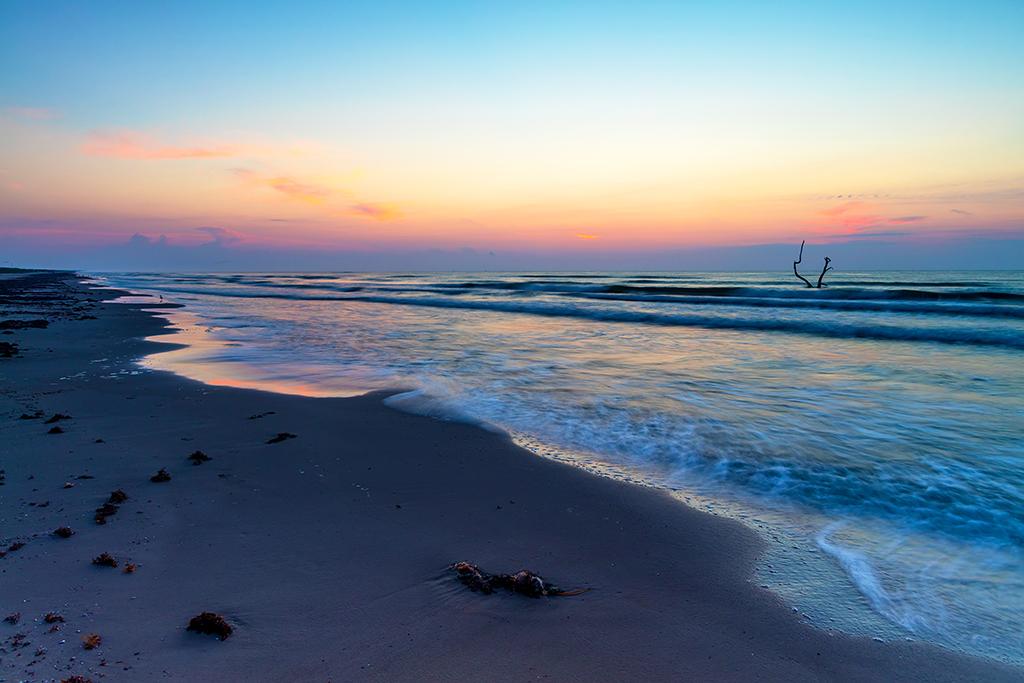
Almost sunrise, Padre Island National Seashore / Rebecca Latson
I thought I was being such a clever girl, offering a quiz and trivia piece solely about 10 national seashores. Then, I noticed that back in 2011, Bob Janiskee had already written a national seashore quiz for the Traveler. I’ve still gone ahead and composed my own national seashore quiz. See how much you know before checking the answers at the bottom. And, after you’ve taken this quiz, take a look at Professor Janiskee’s quiz. The more you learn, the more you know.
1. Padre Island National Seashore in Texas is subdivided into several beaches, ___ of which are named.
a) 3
b) 4
c) 5
d) 6

American oystercatchers at Cape Point, Cape Hatteras National Seashore / National Park Service
2. True or False: Cape Hatteras National Seashore in North Carolina was the nation’s first national seashore?
a) True
b) False

Brown pelican nesting colony, Cape Lookout National Seashore / National Park Service
3. Cape Lookout National Seashore in North Carolina is composed of how many undeveloped barrier islands?
a) 2
b) 3
c) 4
d) 5
Nauset Marsh Trail, Cape Cod National Seashore / NPS-Brittni Connell
4. Cape Cod National Seashore in Massachusetts is not just about the beaches. How many walking trails are there at the seashore that are open year-round?
a) 3
b) 7
c) 9
d) 12
5. How many acres of Congressionally protected wilderness is Cumberland Island National Seashore in Georgia home to?
a) 2,350
b) 5,700
c) 7,800
d) 9,800

Fort Pickens at sunset, Gulf Islands National Seashore / National Park Service
6. True or False: During WW II, Gulf Islands National Seashore’s Horn Island in Mississippi was used for a project by the U.S. Army to test toxic weapons.
a) True
b) False

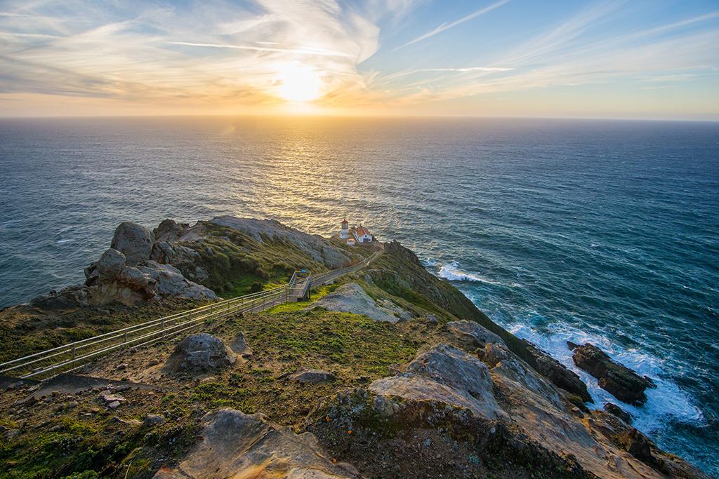
Point Reyes lighthouse, Point Reyes National Seashore / NPS-Anela Ramos Kopshever
7. Lighthouses are built to serve as navigational aids and to warn sailing vessels of dangerous areas. True or False: the lighthouse at Point Reyes National Seashore in California serves as a welcoming beacon to bring ships to shore.
a) True
b) False

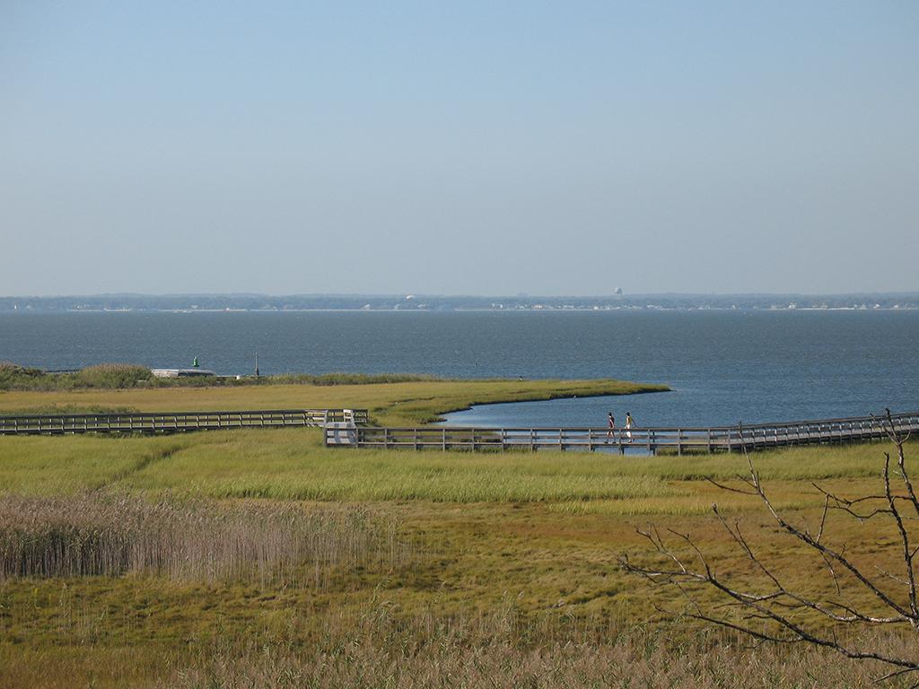
Watch Hill saltmarsh, Fire Island National Seashore / National Park Service
8. Did you know that Fire Island National Seashore in New York has ____ species of bats?
a) 2
b) 5
c) 7
d) 10
9. True or False: Canaveral National Seashore in Florida is home to the longest stretch of undeveloped beach on the state’s east coast.
a) True
b) False

A band of horses in the saltmarsh, Assateague Island National Seashore / National Park Service
10. True or False: the Assateague horses on Assateague Island National Seashore are descendants of survivors of a shipwreck off the Virginia coast.
a) True
b) False
And now for a little trivia

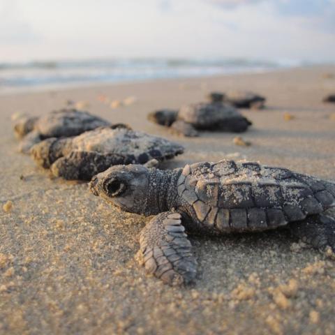
Itty bitty Kemp's ridley hatchling, Padre Island National Seashore / Rebecca Latson
Before Padre Island National Seashore was established September 28, 1962, South Padre Island was one of eight remote places on a short list of sites to hold the first atomic bomb test back in 1945. I’m thinking the sea turtles that nest there would not have been too happy had the island been named the “winner.”

Southside Path and view of the Pamlico Sound, Cape Hatteras National Seashore / National Park Service
Cape Hatteras National Seashore “was the location of an early and strategic victory for the Union in the Civil War. When President Lincoln was informed, in the middle of the night, of the August 1861 capture of Forts Clark and Hatteras, he danced a jig around the room in his nightshirt.”

Turtle Mound on the water's edge, Canaveral National Seashore / NPS - Steele
“The earliest evidence of man at Canaveral National Seashore is found in the numerous mounds within its boundaries. More than 14,000 years ago, small nomadic bands of First Natives entered Florida. As time passed, regional cultures evolved in response to local environmental conditions. By the time the Europeans came various distinct First Native groups were distributed throughout Florida. Living in the vicinity of Turtle Mound were the Timucuan people.”
Answers
1c
Padre Island National Seashore has five named beaches: North Beach, Closed Beach, South Beach, Little Shell Beach, and Big Shell Beach. Now, I thought that Malaquite Beach would be included in this list of separate beaches, but the NPS site for this national seashore includes the “Malaquite Beach area” (next to the Malaquite Visitor Center) as part of the larger Closed Beach.
2a True
Cape Hatteras National Seashore was the nation’s first national seashore, established in 1937.
3b
Three undeveloped barrier islands make up Cape Lookout National Seashore: North Core Banks, South Core Banks, and Shackleford Banks.
4d
According to the NPS site for this national seashore, there are 12 walking trails at Cape Cod National Seashore that are open year round: Fort Hill, Red Maple Swamp, Nauset Marsh, Buttonbush, Doane, Atlantic White Cedar Swamp, Great Island, Pamet Area, Woods Walk, Small’s Swamp, Pilgrim Spring, Beech Forest.
5d
“The wilderness area consists of over 9,800 acres of Congressionally protected land. This land is protected so that it will remain uninhabited, retain its natural character, and remain unimpaired for the enjoyment of future generations.”
6a True
“The US Army created a center to test chemical-based weapons on Horn Island. Horn Island housed the Chemical Warfare Service Quarantine Station from October 1943 to July 1944. The area was a testing range, where the Army hoped to check the effectiveness of their weapons before using them in combat. Horn Island could only sustain small-scale tests ‘because the island was only ten miles away from the mainland and because it was belatedly discovered that for two-thirds of the year the prevailing winds blew toward the mainland.’ Winds could transport the harmful toxins into populated areas along the Gulf Coast.”
7b False
“The Point Reyes Headlands jut 10 miles (16 km) out to sea and pose a threat to ships traveling between San Francisco Bay and locations to the north. The historic Point Reyes Lighthouse was built in 1870 to warn mariners of this navigational hazard and served for 105 years.” You might think this is a trick question, I suppose, since one could think this lighthouse (and any lighthouse) served not only as a warning but also a welcoming beacon to let sailors know they approached land. However, the main purpose for this particular lighthouse was as a warning signal of the headlands.
8b
“Five bat species can be found within the boundaries of Fire Island National Seashore. One of which is classified as a threatened species. The Northern Long-Eared Bat, Myotis septentrionalis, has been recorded with high activity at the William Floyd Estate, a unit of the Seashore located on Long Island.”
9a True
“The park's 24 miles of undeveloped beach is the longest such stretch on the east coast of Florida.”
10 b False (for now, anyway)
According to the NPS site for this national seashore, “while this dramatic tale of struggle and survival is popular, there are no records yet that confirm it. The most plausible explanation is that they are the descendants of horses that were brought to barrier islands like Assateague in the late 17th century by mainland owners to avoid fencing laws and taxation of livestock.”
References
In addition to information from each NPS national seashore site, I used the following as references:
Joe Yogerst, 100 Parks 5000 Ideas, National Geographic Partners, 2019
https://www.kut.org/post/why-padre-island-was-almost-atomic-bomb-site


 Support Essential Coverage of Essential Places


Comments
I think you need to check the date you posted for the creation of Cape Hattaras NS in todays quiz. NPS.gov lists it as January 12, 1953
It was officially authorized by Congress in 1937, Dennis.
https://www.nps.gov/caha/learn/management/lawsandpolicies.htm
A better question for fire Island: True or False: Fire Island National Seashore contains the only National Park Service wilderness area in the Northeast. True.