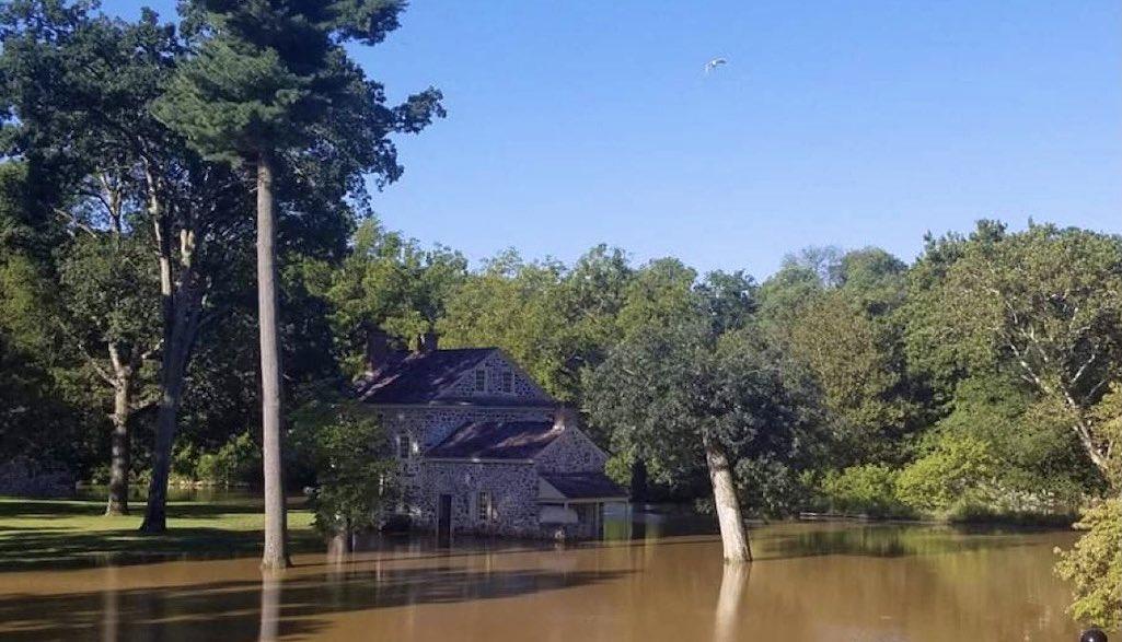
Valley Forge National Historical Park was one of the National Park System units dealing with flooding Thursday/NPS
Heavy rainfall from remnants of Hurricane Ida left units of the National Park System in recovery mode Thursday, as crews waited for floodwaters to recede so they could begin cleanup
Here's a glance at some of the problem areas:
Delaware Water Gap National Recreation Area/Pennsylvania and New Jersey
As of 10:15 a.m. EDT, Route 615 was closed from the shooting range to the Flatbrook Bridge due to flooding and damage to the road.
- Route 209 was closed from Little Egypt Road to Wilson Hill Road due to downed trees and standing water on the roadway.
- River Road on the PA side of the park remained closed.
- Briscoe Mountain Road was closed.
- Chestnut Ridge Road was closed.
- Route 739 was closed between Route 209 and the Dingmans Bridge.
- All park offices were closed.
- The Delaware River and all access points were closed.
Bushkill Creek was expected to reach 6.5 feet this morning; flood stage is 6 feet. Route 209 may be closed temporarily if the creek rises over the bridge and roadway.If you must travel, plan alternate routes so that you are prepared in the event the road is temporarily closed while water levels recede.
The Delaware River at the Montague gauge in the north end of the park was expected to crest at 20.2 feet Thursady morning; flood stage is 25 feet. The Delaware River at the Tocks Island gauge at the south end of the park was expected to crest at 21 feet Thursday morning, which is flood stage for that part of the river.
First State National Historical Park/Delaware
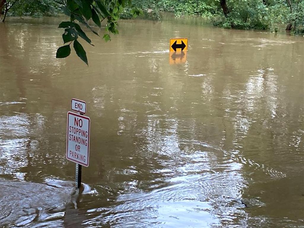
Due to heavy rainfall and strong winds from Ida, the Brandywine Creek flooded into the Smith Bridge picnic area and along Brandywine Creek Road. The picnic area, Smith Bridge parking lot, and trails surrounding the creek will remain closed until the flooding recedes back to normal. "No Thru Traffic" signs have been placed on Ramsey Road to Brandywine Creek Road. Park staff ask that you not attempt to go into the Brandywine Creek, or cross any of the high creeks, until water levels return to normal. Use caution throughout the park as there may be standing water on trails, and roadways, making unsafe, slippery conditions.

Flooding left roads impassable at First State National Historical Park/NPS
Harpers Ferry National Historical Park/West Virginia, Virginia, Maryland
As of Thursday morning, Potomac River waters around the park had stayed below flood stage. However, the current situation may change rapidly as upstream waters flow toward Harpers Ferry. All visitors were encouraged to use caution. Do not attempt to cross washouts or high-water areas. Remain aware of rising water levels in the Potomac River and neighboring streams.
Valley Forge National Historical Park/Pennsylvania
Roads and trails through and around the park were closed and/or damaged Thursday.

 Support Essential Coverage of Essential Places


Add comment