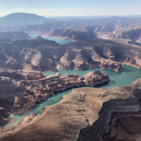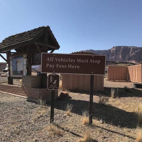
The Halls Crossing Boat Ramp at Lake Powell can now handle all watercraft/NPS file
Spring runoff continues to raise the elevation of Lake Powell at Glen Canyon National Recreation Area in Utah, where National Park Service staff say the Halls Crossing Boat Ramp can now be used by all watercraft.
A courtesy dock is available at the ramp. To reduce congestion, boaters are asked to limit use of the courtesy dock to 10 minutes or less. All launch and retrieval of vessels is at your own risk.
A wakeless zone is marked with buoys and signs alerting boaters to the requirement to travel at wakeless speed. The Halls Crossing Marina is located in San Juan County, Utah, and is accessed via Utah Highway 276. Visitor services include a boat ramp comfort station and campground with family units. The Marina Office is open.
The boat pumpout, boat fuel dock, Village Store and snack bar are closed, but land-based pay-at-the pump gas is open 24 hours. The closest alternative boat fuel dock and pumpout are located at the Bullfrog Marina. The Halls Crossing Marina is located on Lake Powell, about 95 (153 kilometers) miles upstream from Glen Canyon Dam, directly across the lake from the Bullfrog Marina.
Mid-lake fuel is unavailable. Due to low lake levels, the Dangling Rope Marina closed in 2022 and dilapidated structures have been removed. The Park Service continues to seek funds to explore options for mid-lake essential services (including fuel) to replace the services previously offered at Dangling Rope Marina.
Dangling Rope Marina had been the only place to obtain boat fuel between the Wahweap area in south Lake Powell and the Bullfrog/Halls Crossing area in north Lake Powell, a distance of approximately 100 miles. Boaters should plan ahead for their needs. For boaters averaging 20-25 mph, the trip to Bullfrog from Wahweap takes at least four to five hours. Boat fuel is available at the Wahweap, Antelope Point, and Bullfrog marinas.
NRA staff urged you to use caution when anchoring your vessel or parking your vehicle, since during spring runoff lake levels can rise up to two feet per day and result in rapid changes to the shoreline. Property left near the shoreline can quickly become submerged in mud and/or water. Depending on the grade of land, a foot of water rising vertically will cover approximately 30 to 50 feet of land horizontally. Visitors should park 300 to 400 feet away from water's edge, as a week-long visitor’s vehicle could be inundated (depending on the inflow of water).
As of Saturday, the reservoir's elevation was up to 3,564 feet above sea level; full pool is 3,700 feet. Last year on this date the elevation was 3,532.5 feet. Back in 2020 on this date the elevation was 3,605.4.


 Support Essential Coverage of Essential Places


