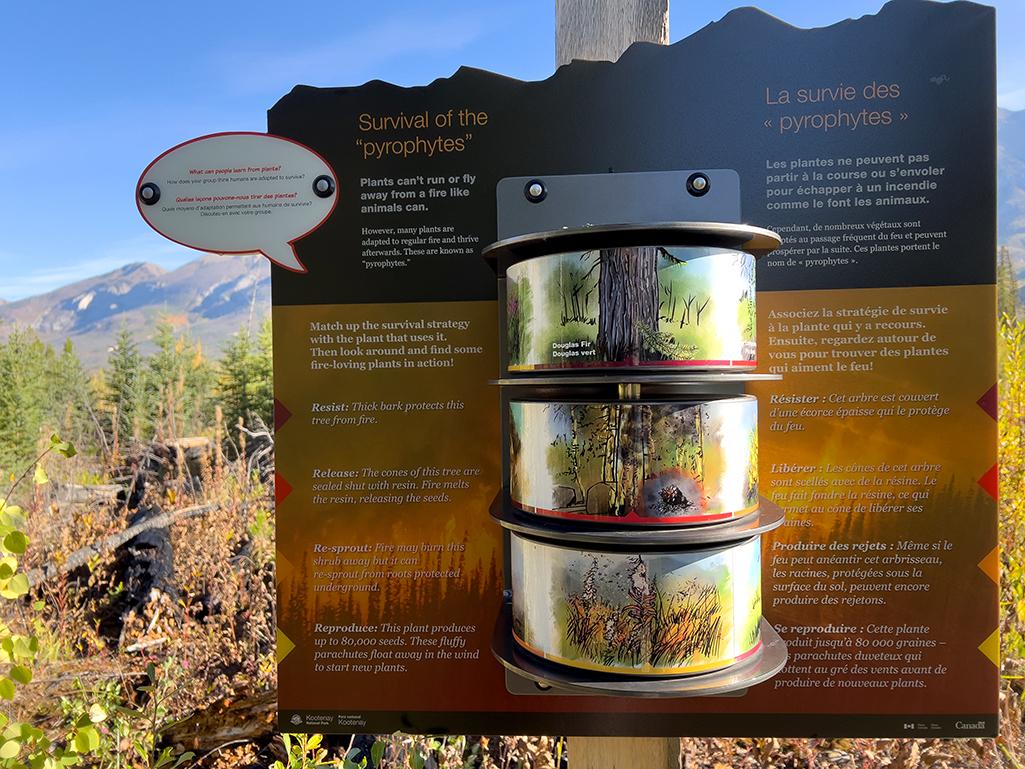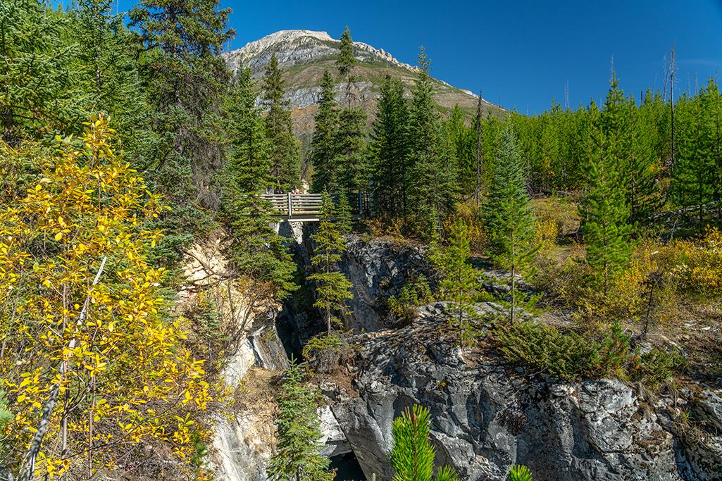
Trailhead for the Simpson River Trail, Kootenay National Park / Rebecca Latson
A photographic road trip into Canada to visit four Canadian Rockies national parks (Kootenay, Yoho, Banff, Jasper) meant I drove a lot. And stopped a lot (for photos). On occasion, I hiked – but not a lot. I only had a certain number of planned days to spend within each park, so while I originally intended to hike at least one short trail per park, it didn’t work out that way.
Despite the start of school, September is still an extremely busy month for these national parks. Parking for the most popular trails (Peyto Lake in Banff National Park, Marble Canyon in Kootenay National Park) was full up with cars circling like a pack of wolves around a good catch, in this case, an available parking spot. So, I didn’t hike much, but I did hike some: in Kootenay National Park, I explored the Simpson River and Marble Canyon trails (yes, I did snare a parking spot at Marble Canyon), and they were easy enough and short enough to do both in a single day, with a 20-minute drive distance between the two.
Simpson River Interpretive Trail
I decided to hike the Simpson River Interpretive Trail by happenstance. I needed the restroom and there was one at the gravel parking area. The trail description sign indicated the location of those famous red Adirondack – er – Muskoka (that’s Canadian, eh) chairs at trail’s end. I wanted a red chair moment and the trail was only a mile (1.6 km) one-way. Besides, that neat bridge over the cold, milky turquoise water of the Kootenay River called my name and I just had to hike that trail. FYI, to clarify, the bridge crosses over the Kootenay River, but the trail soon veers and parallels the Simpson River tributary, hence the trail name.
Note: I hiked the Simpson River Interpretive Trail, not the longer portion (5.28 mi/ 8.8 km one way) of the Simpson River Trail which takes the hiker to the boundary of Kootenay National Park and connects to Mount Assiniboine Provincial Park.
As mentioned above, there is a gravel parking lot large enough for even a truck and attached horse trailer (there’s a separate trail for horse riding there). The trailhead begins at the bridge across the river. For most of the way, the trail is more like a shallow ditch about 2-3 feet (0.6 – 0.9 m) wide, roaming through land charred by a 2001 wildfire. Despite the higher elevation and cooler temperatures, no tree cover means the route gets hot and dry, so it’s important to carry water, even on this short hike.

The Simpson River Trail is a little narrrow but easy to hike, Kootenay National Park / Rebecca Latson
Along the way, you’ll see various interpretive signs discussing the effects of the wildfire as well as the wildlife and plant life you might see. Since this is bear country, it’s wise to carry bear spray.

One of several informational signs you'll see along the interpretive portion of the Simpson River Trail, Kootenay National Park / Rebecca Latson
About midway through the hike, you’ll encounter a couple of hefty wooden planks across wet, marshy ditches. I don’t feel like those planks are wide enough, but I am not the most sure-footed of hikers so I’m probably alone in that opinion. Otherwise, the trail is bumpy but level with negligible elevation gain. The last segment of the interpretive portion of this trail (where the 98-feet elevation gain comes in) steeply climbs up a ridge to a vast view of the Simpson River landscape. But no red chairs. I initially thought I didn’t hike far enough. I looked around the ridgetop without spotting a dot of red. All that greeted me at the top were charred trees and a sign informing me I “could continue on the trail to Mount Assiniboine Provincial Park or turn around to return to the parking lot.”
Despite the lack of red chairs at the top, the hike itself is a nice leg stretcher and the view at the end is worth the effort.

The view from the top of the ridge along the Simpson River Trail, Kootenay National Park / Rebecca Latson
After returning to my vehicle, I drove further north to hike the Marble Canyon Trail located near the boundary between Kootenay and Banff national parks.
Marble Canyon Trail
Marble Canyon is an almost 2,000-feet-long gorge (600 m) originally carved by glaciers and further eroded by the frothing Tokumm Creek. The loop climbs up the canyon via rocky dirt trails and a series of bridges over canyon and creek to the top where you can stand and feel cool spray on your face from the powerful rushing water falling down the canyon.

Marble Canyon, Kootenay National Park / Rebecca Latson

Looking back down the Marble Canyon Trail, Kootenay National Park / Rebecca Latson

The view up canyon, Kootenay National Park / Rebecca Latson

The view at the top of the Marble Canyon Trail, Kootenay National Park / Rebecca Latson
To be honest, I don’t really know if you can call the less-than-one-mile loop of Marble Canyon Trail a hike or just a walk. The trail does get a little steep near the beginning, but afterwards the incline is gentle and the level bridges help you catch your breath.
Simpson River Interpretive Trail and Marble Canyon Trail make excellent rambles with plenty of photo ops which may be done in a single day, and the drive between the two trailheads introduces you to the grandeur of Canadian Rockies landscape.

 Support Essential Coverage of Essential Places


