On a rocky slope in Torngat Mountains National Park in northern Labrador, a lone polar bear was splayed out on his belly on a bed of Arctic plants. He looked like a bearskin rug until he rolled lazily onto his side, lifted his head and yawned.
Who knew that polar bear tongues are black, purple and blue, or that their skin is black to help them absorb the sun’s heat?
As I floated by in a Zodiac that fall day, watching from a respectful distance through a zoom lens, I was struck by how the apex predator knew we weren’t a threat or a meal. He was conserving energy while waiting for the Labrador Sea to freeze so he could hunt seals. We were under orders to leave at the first sign of distress.

Heather Angnatok, an Inuit cultural educator and artist from Labrador, takes on bear guard duties in Torngat Mountains National Park/Jennifer Bain
On the day that we communed with that sleepy bear, Inuit cultural educator and artist Heather Angnatok was supposed to teach us the Inuktitut word of the day. But that day was worthy of four words that translated into two English sentences.
“Sunamik takuven,” she said, sounding out soon-a-mik taak-uh-veen. “What do you see?”
“Nanumik takuvunga. Naan-oo-mik taak-uh-ung-ah. I see a polar bear.”

Not quite 700 people will visit the vasti wilderness of Torngat Mountains National Park this year. Even fewer will make it here to Eclipse Sound/Jennifer Bain
Barely 700 lucky souls get to see the Torngat Mountains at the northern tip of Labrador each year. Not only is it an expensive and logistically challenging park to access, it’s full of polar bears and tundra-dwelling black bears. Only the Inuit can carry guns here in the national park that they gifted to Canada and co-manage with Parks Canada.
Back-country experts with portable electric bear fences, satellite phones and bear bangers can try to experience a park with no roads, trails or signs, but this kind of solo travel is discouraged. Some people journey by plane and boat to the Torngat Mountains Base Camp and Research Station on Inuit land just south of the park, and then take guided day trips into it from late July to early September. Like me, most visitors take Adventure Canada expedition cruises and explore from north to south with Inuit cultural educators doubling as bear guards.
So far this year, the park has logged 655 visitors. Most — 518 — came on two Adventure Canada and two Students on Ice trips. Another 67 (including 23 package guests) visited the base camp. There were two hikers and two snowmobiles, plus five people who came by aircraft and 49 by private vessel. Twelve people from Inuit businesses rounded out the tally.
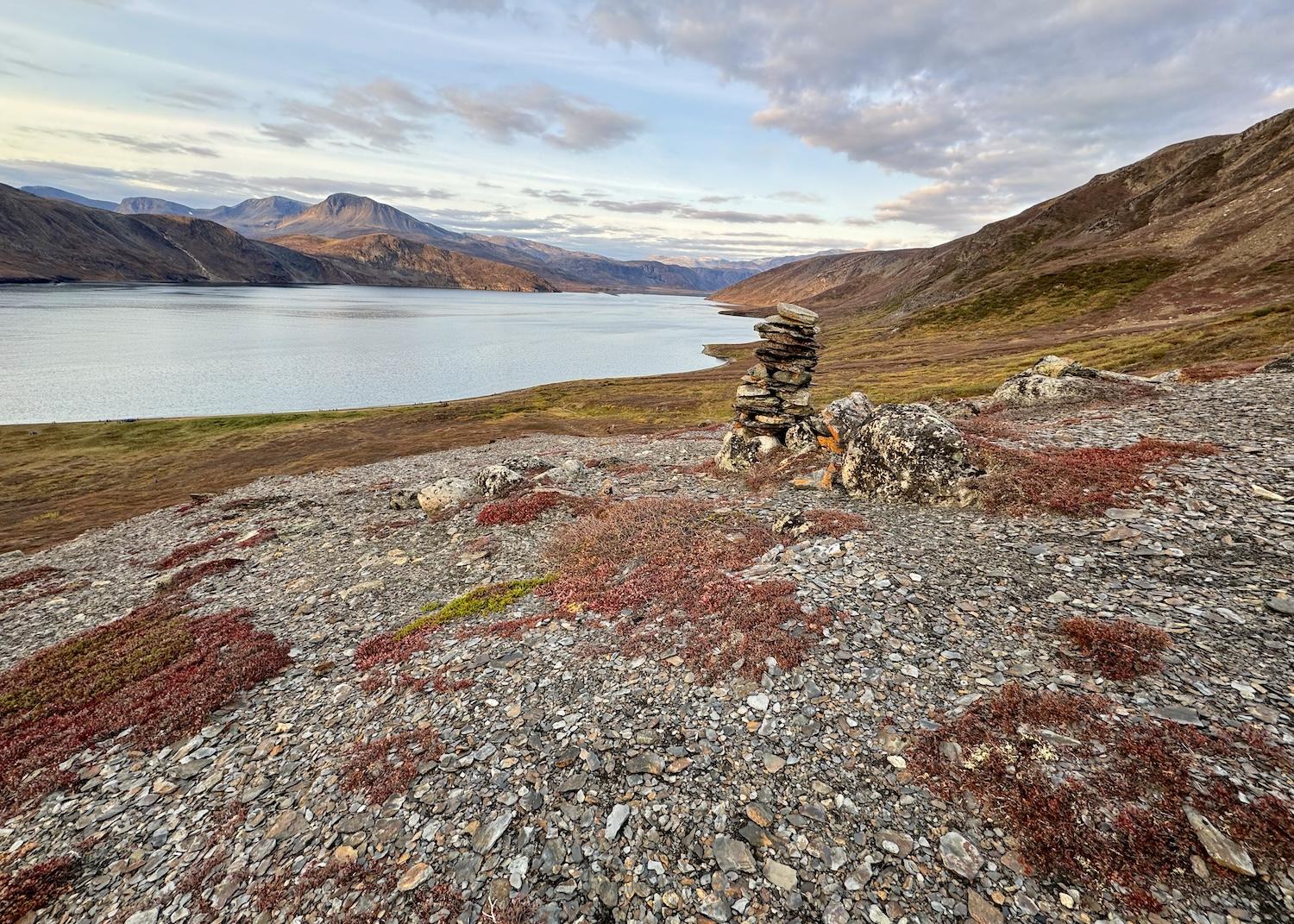
In Ramah, an Inuit-made inuksuk is a stone sculpture shaped like a body that points the way or silently conveys other messages/Jennifer Bain
More than just a wilderness, the Torngat Mountains are an Inuit homeland. “Alianattuk,” the Inuit say. “This is a good place to be.”
When Nunatsiavut was created as a self-governing Inuit region in northern Labrador in 2005, it offered this new park as a gift to all Canadians. Torngat Mountains National Park (Tongait KakKasuangita SilakKijapvinga) was established July 10, 2008 with consent from Labrador Inuit provided through the Labrador Inuit Land Claims Agreement and consent from the Nunavik Inuit of Quebec provided through the Nunavik Inuit Land Claims Agreement.
The Inuit have traveled, hunted, fished and lived among these deep fjords, towering mountains and wide valleys for centuries, following the migratory paths of polar bears, caribou and whales.

In Eclipse Sound in October, visitors experience Torngat Mountains National Park by kayak/Jennifer Bain
Slightly larger than Yellowstone National Park, the park is cooperatively managed with the Inuit of Nunatsiavut and Nunavik. Plans are now in play for an Inuit Protected Area in the coastal and marine areas next to the park that Parks Canada hopes will create “a seamless conservation regime from mountain tops to sea bottom.”
As the Ocean Endeavour sailed into Canadian waters from Greenland with 176 passengers (327 people counting crew and the expedition team), we gathered in the lounge. "We just want to welcome you with all our hearts," Angnatok said. “Welcome to Labrador.”
She proudly sat with Maria Merkuratsuk and other Inuit cultural educators, lighting a soapstone oil lamp called a qulliq and tending to the flame. Using the blubber of seals or whales as oil, and burning wicks made of Arctic cotton and moss, qulliqs once kept homes warm. Now qulliqs often burn vegetable oil, anchor ceremonies and symbolize the strength of Inuit women.

A number of Inuit cultural educators sail with Adventure Canada. On a recent voyage from Greenland to Newfoundland and Labrador, they included (from left): Heather Angnatok, Liz Pijogge, Greenland's former prime minister Aleqa Hammond, Garnet Blake, Randy Edmunds, Donovan Pijogge, Wayne Broomfield, Joe Atsatata and Maria Merkuratsuk (front)/Jennifer Bain
We were welcomed with one ceremony in Greenland — where most of the population is Inuit — and another led by Merkuratsuk in Labrador.
Our two-week expedition included five unforgettable days in and around the Torngats, where we dropped anchor, sent bear monitors out to set safe perimeters, and took Zodiacs to shore. We roamed between shore stations overseen by geologists, ornithologists, artists, photographers, cultural historians and archaeologists.
Many hiked inside these safe spaces. Some kayaked nearby. A few took advanced hikes outside the perimeters, with bear monitors keeping bears and people safe from each other. The park is north of the treeline so sight lines are good unless the fog rolls in. If bears are spotted, new landing sights are chosen.
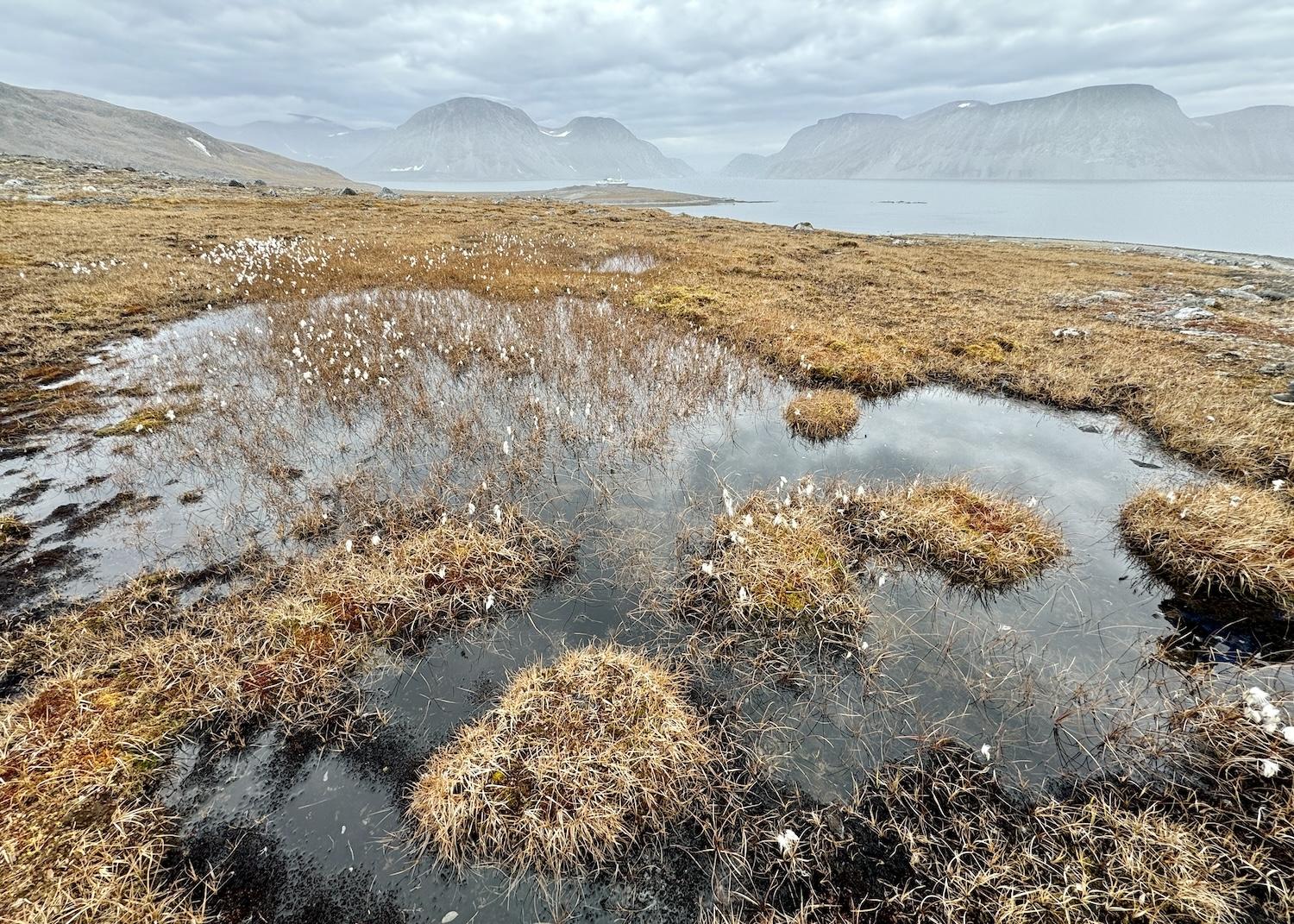
A patch of Arctic cottongrass stands out in Ekortiarsuk Fjord. Cottongrass has traditionally been gathered and burned in soapstone lamps called qulliqs/Jennifer Bain
Ekortiarsuk Fjord was the first place we landed. Carved by glaciers and surrounded by towering cliffs and dramatic mountain peaks, it shows off the mosses and lichen that thrive in this harsh climate.
This being a national park, we knew not to pick late-season flowers or pocket billion-year-old rocks. This being an Inuit cultural landscape with archaeological sites dating back 7,000 years, we knew that moving any artifact — tent ring, food cache, burial site, stone fence — from its context meant destroying its history. One person did indeed stumble upon a burial site, a find that was to be immediately mapped and relayed to the government.
A gorgeous cross-fox greeted us that first day, its orange coat mixed with dark stripes because it’s a melanistic variant of the red fox. Arctic cottongrass danced in the autumn breeze. Only a wooden crate filled with empty silicone sealant canisters marred the landscape.
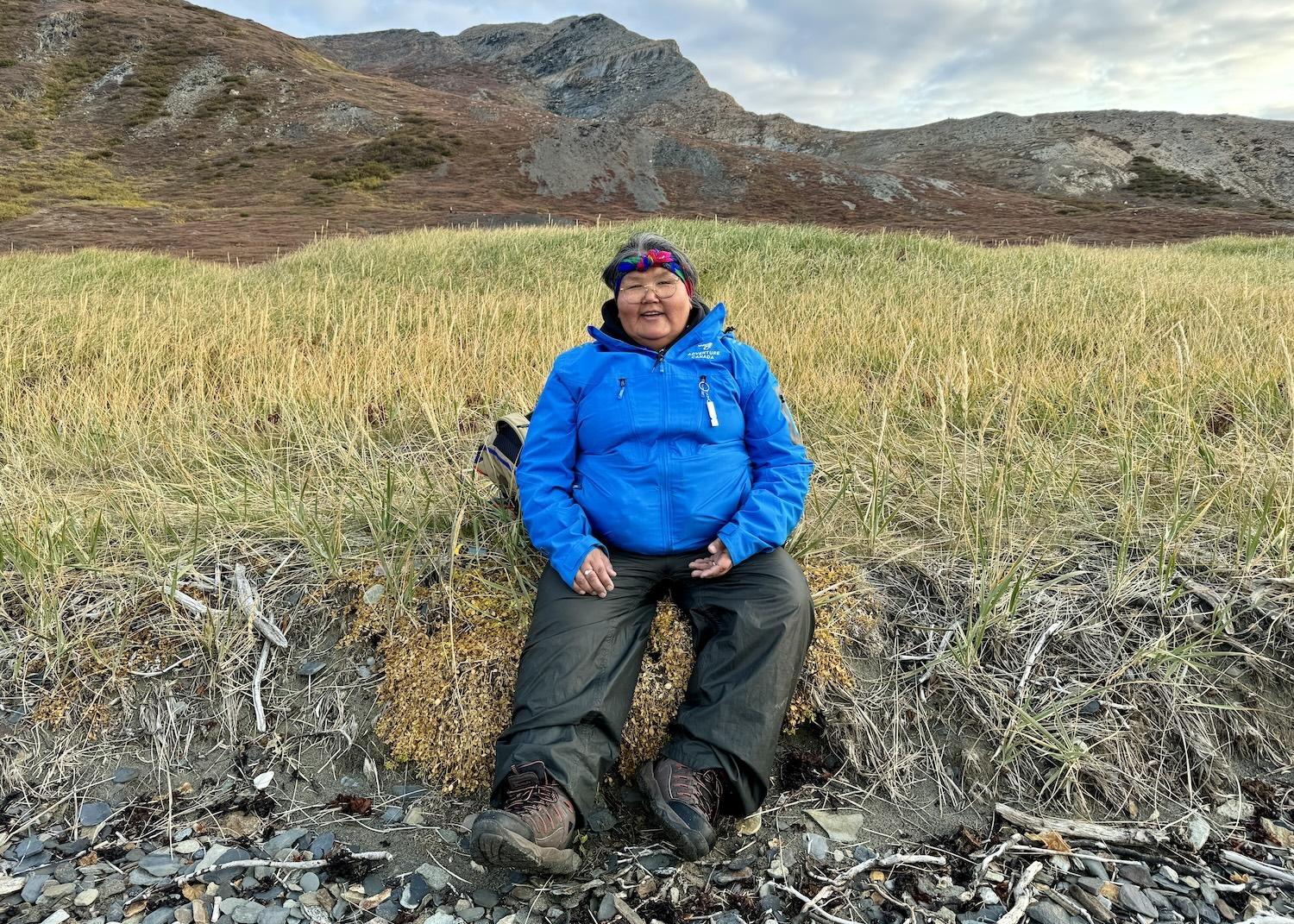
Liz Pijogge, enjoying Ramah, is an Inuk from Nain who is a northern contaminants researcher for the government/Jennifer Bain
That last item was interesting to researcher-in-residence Liz Pijogge, the northern contaminants researcher for the Nunatsiavut government. But it was upsetting to Merkuratsuk, who apologized, fretting “it’s not usually like that. It had to be someone really that was there that was not nice, that was not good. I’m thinking about my parents, my dad, my uncle. They would not do that.”
In Eclipse Sound, cherished as a hunting and fishing ground, there were caribou antlers on the tundra where we walked and that sleepy polar bear in another area we visited by boat.
While I longed to see lemmings, the closest I came was a skeleton that two people identified as the mouse-like rodent that thrives in the treeless tundra and doesn’t hibernate.
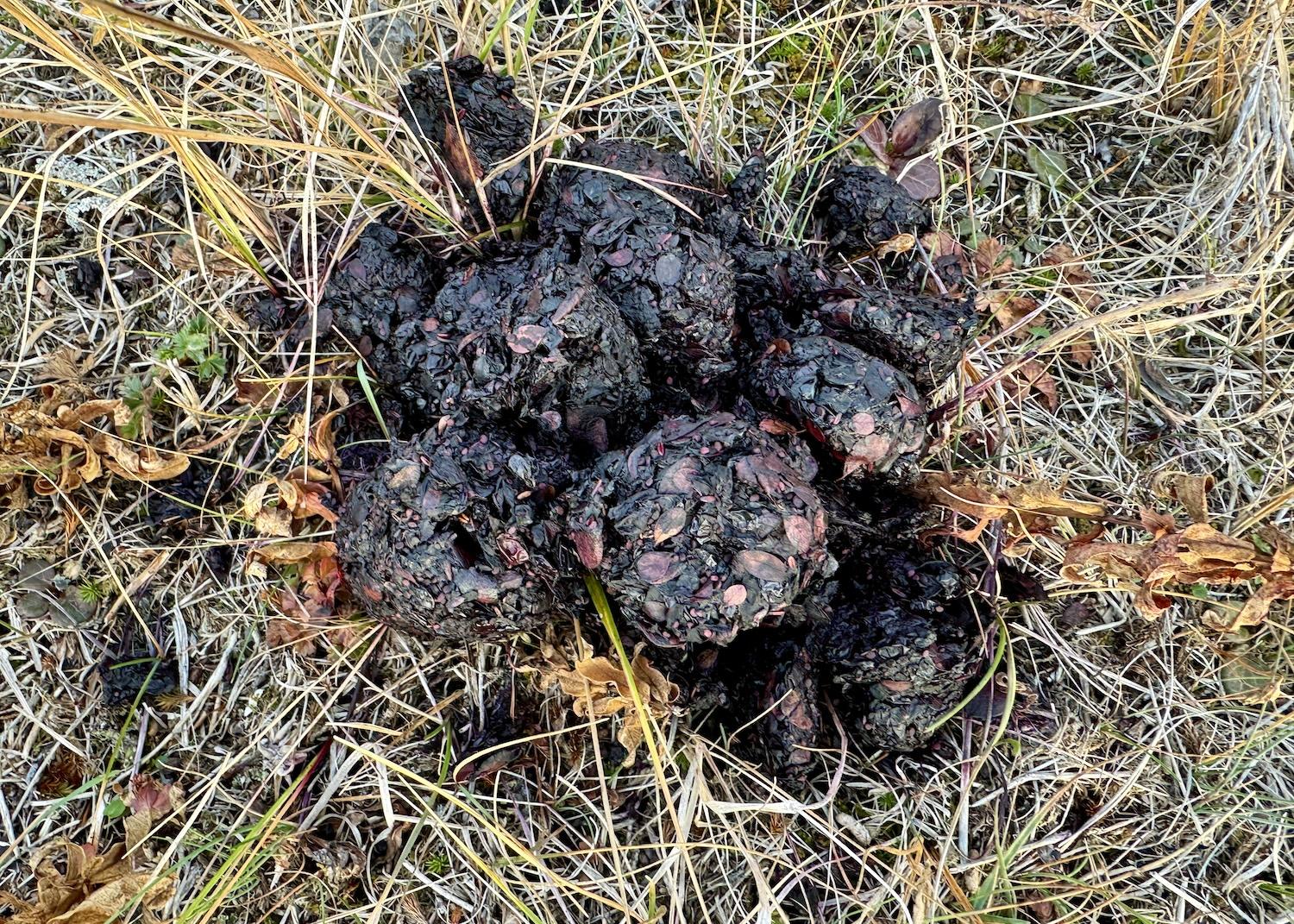
The prettiest scat comes from polar bears who feed on berries. This pile was spotted in Ramah/Jennifer Bain
That skeletal find was in the beautiful Nachvak Fjord, which is nearly 12 miles deep and one mile wide. The area is home to Mount Caubvick/D'Iberville (the highest mountain in mainland Canada east of the Rockies) and ancient Thule sod houses made by the pre-contact ancestors of the Labrador Inuit. We stayed a safe distance from the almost invisible remains of those sod houses.
In each place we landed, we took only photographs and left only footprints. Sometimes our pictures were of scat and they were showcased as “poop of the day” or “poop du jour” at daily gatherings.
Ptarmigan poop was a rare find, but berry-studded polar bear scat in various states of decay got the most applause.

Don't let the zoom lens photos fool you. You will stay a safe distance from polar bears in Torngat Mountains National Park, like this one in Eclipse Sound that's in between the boats and half way up the slope/Jennifer Bain
That sleepy bear? Inuit cultural educator Wayne Broomfield, who used to manage the Torngats base camp, figured it was probably a healthy male that was at least six years old. “At the end when everybody was gone, he stood up and walked around and you could see the big old belly on him,” he assured me.
Despite climate change concerns, the Labrador polar bear population is doing well. About 2,500 bears, or roughly one-tenth of the estimated global total, live in Labrador and northern Quebec. Some people link their well-being to the fact that harp seals — their primary food source — have boomed as commercial sealing has declined.
From the ship, we watched in delight as a mother polar bear lead two cubs along the shoreline, and as a couple of lone black bears swaggered across the land. Like expedition leader MJ Swan, we made sure to thank the wildlife spotting team “for catching those little cream dots and little black dots.”
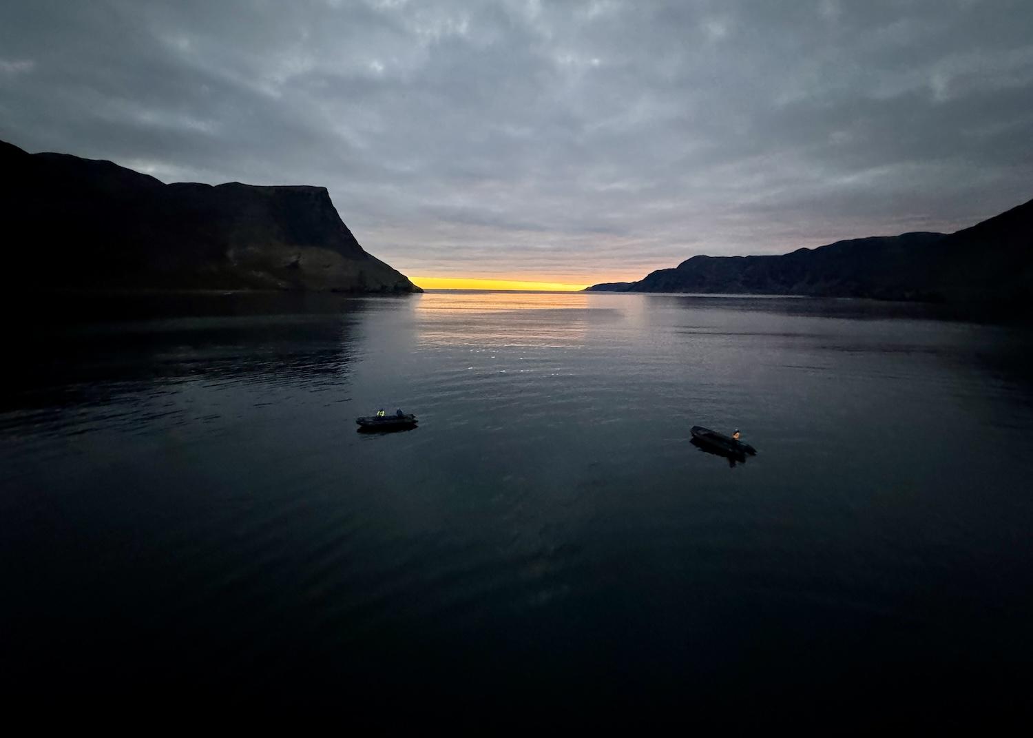
A stunning October sunrise in Ramah provides time for contemplation/Jennifer Bain
Things got heavier in Ramah and Hebron, two abandoned communities.
Starting on the National Day for Truth and Reconciliation and Orange Shirt Day, the Inuit cultural educators aboard the ship began tackling the tragic legacy of residential schools. They spoke openly of cultural suppression, language loss, abuse, forced assimilation and intergenerational trauma.
September 30 is a day to honor the survivors, families and communities impacted by the 140 federally run residential schools in Canada that operated between 1867 and 1996. The orange shirt is a symbol of the stripping away of culture, freedom and self-esteem experienced by generations of Indigenous (Inuit, First Nations and Métis) children.

Inuit cultural educator Maria Merkuratsuk tends to a soapstone oil lamp called a qulliq during a welcome ceremony/Jennifer Bain
Merkuratsuk, who lived blissfully on the land in Nachvak until she was five, remembers the devastation that came when her family was forced to move south to Hebron and eventually Nain. Sexual abuse. Alcoholism. Depression. Suicidal thoughts. Shock therapy. Medication. Shame. Anger. Sadness. Embarrassment. Broken families.
“It was darkness,” Merkuratsuk admitted when bravely sharing her painful story. Sober for 29 years, she stays centered by going out on the land, speaking her language and eating wild food. “I did a lot of blaming. I did a lot of hating. Never ever did I think I would be here telling you this. My grandmother taught me to forgive and to love people.”
The comforting Inuktitut word of the day after Merkuratsuk’s talk was naligivagit, which is pronounced null-lee-ghee-vah-ghet and means “ I love you.”
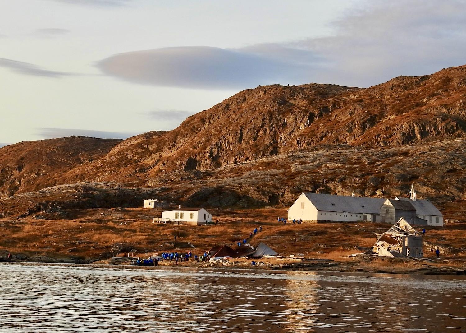
The Hebron Mission Historical Site tells the sombre story of a Western religion foisted on the Inuit and a community that was abandoned and forced to relocate/Jennifer Bain
The theme of forgiveness continued at Hebron Mission National Historic Site just south of the national park. Like Ramah, it's now abandoned and was once a Moravian mission established by the Moravian Brethren, a Central European protestant sect. Unlike Ramah, where there are just traces of ruins, buildings remain.
From 1831 to 1959, the mission provided religious instruction to the Inuit, and was an educational, commercial and medical center. In the face of poor living conditions, tuberculosis and other hardships, the mission was unexpectedly closed without consultation, forcing families to relocate and sparking generations of trauma.
A series of interconnected buildings awaits restoration. The provincial government erected a stone monument and plaque apologizing for what it did. Inuit leaders responded with a plaque accepting the apology. A third plaque lists the names of everyone forced to relocate, many to Nain, now a modern town of 1,200 that's 120 miles south of the Torngat Mountains and home to a Parks Canada office.

In Eclipse Sound, a hike across the tundra snaked along this dramatic waterway lined by ancient rocks/Jennifer Bain
There was plenty of time for contemplative moments on my journey through this little-known corner of Canada. I smelled Labrador tea leaves still on the plant instead of in my cup, bounced over spongy patches of tundra like a caribou might, and saw the northern lights light up the sky two nights in a row.
It was humbling to see this remarkably rich landscape through Inuit eyes while learning Inuktitut words.
Silakisuak (see-luck-ee-swauk) means “what a fine day.” Kuviasuvunga (ku-via-su-vung-a) means “I am happy.” If I had just two words to describe my time in the Torngats, these would be my picks.
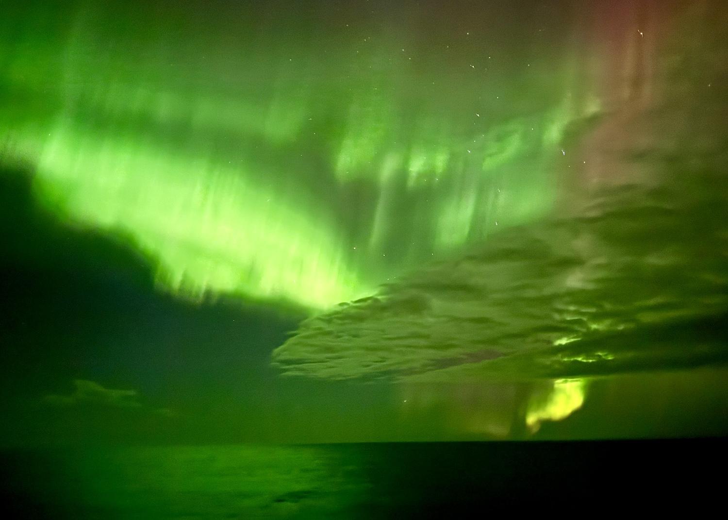
The northern lights put on a show for two nights in October around Torngat Mountains National Park and Hebron Mission National Historic Site/Jennifer Bain


 Support Essential Coverage of Essential Places


