Though its name reflects the hallmark of this landscape, there is more than a desert to Death Valley National Park. Stand at Badwater, 282 feet (85.95 m) below sea level, and you can gaze up to Telescope Peak, which towers overhead at 11,049 feet (3,367.7 m) above sea level.

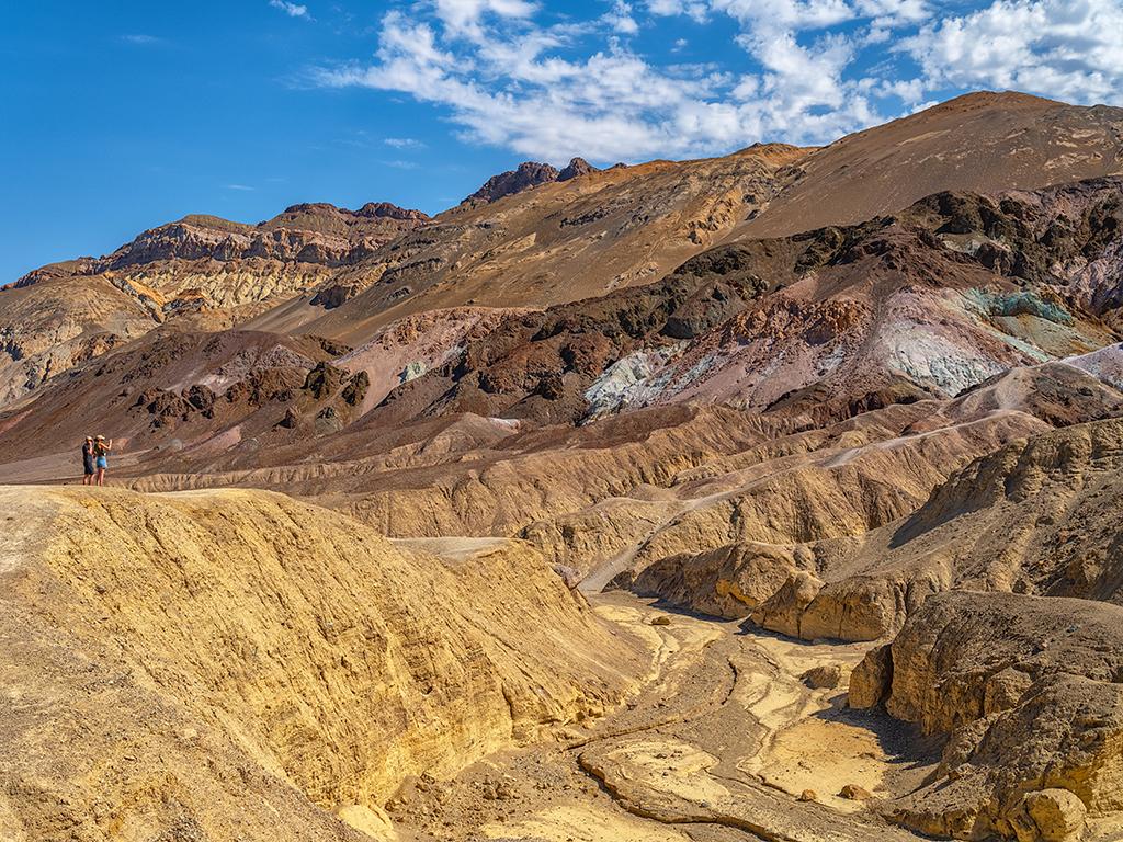
Viewing the geology of Artists Palette, Death Valley National Park / Rebecca Latson
Between that low point and high point is a vast panorama of Western geology, one containing more than three dozen different formations. Spend any time roaming Death Valley and you might come upon mudstones and sandstones, quartzites and onyx. There are ash layers indicative of long ago volcanism, and marine layers pointing to ancient seas.
Perhaps the park's most colorful geology is exposed along Artists Drive south of Furnace Creek. Here a 9-mile (14.5 km) drive wends its way through rumpled hillsides colored brown, red, yellow, and turquoise, hues reflective of past volcanics combined with sedimentation. Golden Canyon lets you descend into this geology, as the mile-long (1.6 km) trail meanders through a heavily eroded, and colorful, mountainside.
You could spend a career exploring and studying Death Valley's geology, tracing the currents of ancient seas, examining how plate tectonics impacts the valley, or monitoring the ongoing deposition that can be seen in the alluvial fans that spill out of the mountains. A rather large footprint of past volcanics can be found in the northern end of the park in Ubehebe Crater, which scientists say was created when molten lava encountered groundwater and ignited a massive steam explosion.
In a chapter from its Geology Fieldnotes, the Park Service offers the following overview of Death Valley's geology:
Death Valley. The name is foreboding and gloomy. Yet here in this valley, much of it below sea level, or in its surrounding mountains you can find spectacular wildflower displays, snow-covered peaks, beautiful sand dunes, abandoned mines and industrial structures, and the hottest spot in North America.
G.K. Gilbert, a geologist who worked in the area in the 1870s, noted that the rock formations were "beautifully delineated on the slopes of the distant mountains, revealing at a glance relations that in a fertile country would appear only as the results of extended and laborious investigation." The rock layers that Gilbert noticed comprise a nearly complete record of the earth's past, but that record has been jumbled out of sequence. The reason is that the rock layers that form the mountains are very ancient, but only in recent geologic time have they risen.
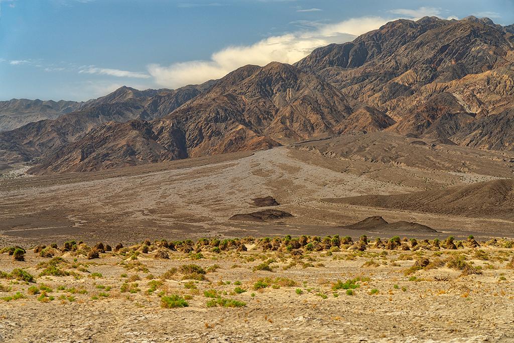
Even as the mountains rose, erosion began to wear them down. An example of this is the formation of the alluvial fans. Intermittent streams, resulting mostly from the bursts of infrequent rains, rush down the steep canyons scouring boulders, soil, and other debris and pushing and carrying the whole mass with it and then depositing it on the valley floor at the canyon's mouth.
Because of the faulting in Death Valley, the vertical rise from the lowest point to the top of Telescope Peak is one of the greatest in the United States.
For more insights into Death Valley's geology, check out this wikipedia page.

Alluvial fan, Death Valley National Park / Rebecca Latson


