Hearing On Tribal Co-Management Of Federal Lands Leads To Domestic Energy Debate

- By Kurt Repanshek - March 8th, 2022 1:56pm
Help power the National Parks Traveler’s coverage of national parks and protected areas.


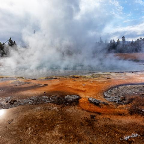
Biscuit Basin is "named for the unusual biscuit-like deposits that used to surround Sapphire Pool ... Biscuit Basin is traversed by an easy 0.6-mile (1-km) lollipop loop boardwalk trail, which leads past many fascinating hydrothermal features, such as Sapphire Pool, Avoca Spring, and Jewel Geyser." Hot spring colors range from green to blue to turquoise, with orange and brown veins of bacterial mats surrounding and leading away from the pools.

Located about 1 mile up the main road from Old Faithful, Black Sand Basin is "named for sand derived from black volcanic glass (obsidian)" and features some beautiful hot springs, including Emerald Pool pictured here. You can also hike the 1 mile to Black Sand Basin starting from Daisy Geyser.

Yellowstone National Park has about 290 waterfalls. The tallest waterfall that's near a road is the Lower Falls of the Yellowstone River, at a height of 308 feet (94m). There are a number of different view perspectives from which you can see and photograph the Lower Falls. This image was captured during a frosty, snowy sunrise seen from Artist Point.


Mammoth Hot Springs is "one of the world's best protected examples of travertine-depositing hot springs ... Inactive terraces underlie most of this area, including under the Mammoth Hot Springs Hotel and the Albright Visitor Center." For great lighting, early mornings and later in the evening just prior to sunset are great times to visit and photograph the terraces and hot springs of this area.


"The Firehole River starts south of Old Faithful, runs through the Upper Geyser Basin northward to join the Gibbon River and form the Madison River. The Madison joins the Jefferson and the Gallatin rivers at Three Forks, Montana, to form the Missouri River." There's a bridge over the river, just prior to the turnoff to the Madison Information parking area, where you can watch the flow of the Madison River as it lazily makes it's way West. Look toward your right and you might even see a herd of buffalo grazing and lounging in the tall grass.

"Situated at 7,733 feet (2,357 m) above sea level, Yellowstone Lake is the largest high elevation lake (above 7,000 feet / 2,134 m) in North America. It is roughly 20 miles (32.2 km) long and 14 miles (22.5 km) wide, with 141 miles (227 km) of shoreline and a surface area of 132 square miles (342 km2). Yellowstone Lake freezes over completely every winter in late December or early January, with ice thicknesses varying from a few inches to more than two feet. The lake usually thaws in late May or early June.


National Parks Traveler is a 501(c) (3) nonprofit.


Here’s the definitive guide to National Park System campgrounds where RVers can park their rigs.
Our app is packed with RVing- specific details on more than 250 campgrounds in more than 70 national parks.
You’ll also find stories about RVing in the parks, tips helpful if you’ve just recently become an RVer, and useful planning suggestions.
