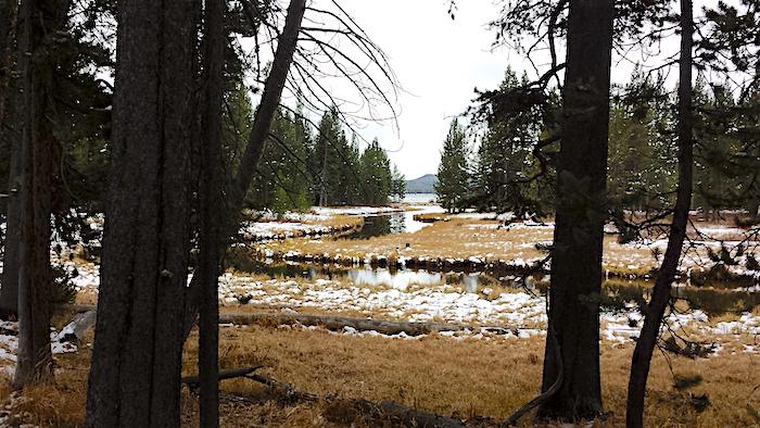
An early October snowfall left a thin layer of snow on the DeLacy Creek Trail/Kurt Repanshek
Fall is one of the best seasons to take a hike in Yellowstone National Park, even if a little snow does fall.
Aspens fluttering golden against dark green conifers, cool, and even cold temperatures, and decidedly few crowds make the last weeks of September and the first couple in October truly great for hiking. A relatively easy 6-mile roundtrip walk that can fill a morning or afternoon is down the DeLacy Creek Trail found just a bit east of the Continental Divide on the Grand Loop Road between Old Faithful and West Thumb.
When we pulled up to the trailhead parking, a couple inches of snow covered the ground and grey clouds were scudding across the sky overhead. The temperature was in the low 30s, cool enough to warrant a down vest, shell jacket, and pair of gloves, but not enough to send us scurrying back to the fireplace at the Old Faithful Inn.

Soft snow, tall pines, and silence greeted us on the trail/Kurt Repanshek
My wife and I quickly left the parking area behind and vanished into the tall lodgepole forest that lined the trail. Named for Walter Washington DeLacy, "the leader of a prospecting expedition that passed through the Yellowstone region in 1863" and who is credited for drawing the first reliable map of Yellowstone two years later, the footpath leads to Shoshone Lake, which for a time was known as DeLacy's Lake.
Despite the presence of the Continental Divide not too far to the west, the DeLacy Creek Trail features no terribly steep sections, instead meandering downhill alongside its namesake creek, which itself bends and flows towards the lake. Here and there beavers have erected dams that created small pools of water.
About a mile into the walk, the forest begins to give way to a sprawling meadow that continued to grow in size as we approached the lake. The creek grew a wider girth as it zig-zagged across the flood plain, and slowed, even nearly coming to a stop, as it reached the lake shore.
If you have more time, this trail can connect you with the South Shore Shoshone Lake Trail that you can take along the southern shore of the lake west all the way to the Lone Star Geyser and to the Old Faithful complex. Indeed, at the geyser the next day we met a father and daughter who had spent four days making that loop.

DeLacy Creek with Shoshone Lake in the distance/Marcelle Shoop

DeLacy Creek widens considerably by the time it reaches Shoshone Lake/Kurt Repanshek

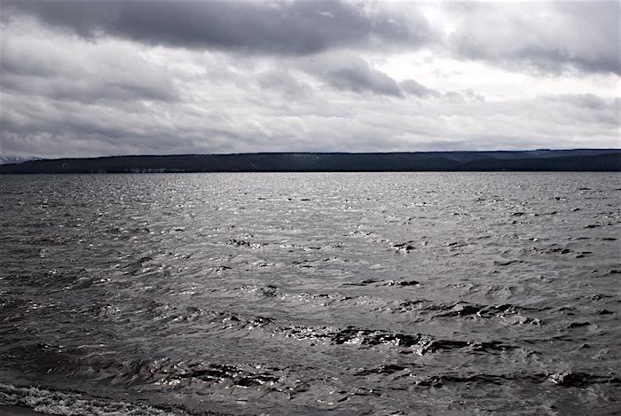
Shoshone Lake, once called DeLacy's Lake after an early explorer, where the DeLacy Creek Trail comes out of the forest/Kurt Repanshek


 Support Essential Coverage of Essential Places


Add comment