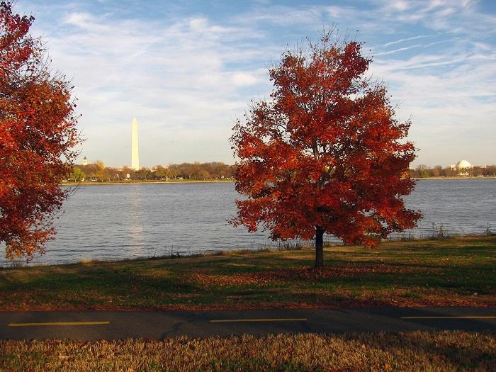
The Mount Vernon Trail offers views of the Washington Monument/NPS
The path to a cohesive, multi-use paved trail network in and around Washington, D.C., is long and complex but can be completed with the coordination and partnership of multiple parks, agencies, and governments, according to a report released this week by the National Park Service.
The 172-page Paved Trail Study outlines the framework for a National Capital Trail, consisting of four loops that offer between 18 and 45 miles of diverse trail experiences and connect national parks with other destinations.

National Capital Trail concept/NPS
“The NPS strives to lead the region in providing exceptional trail experiences, seamlessly linking diverse places of natural and historic significance while providing safe and enjoyable places for people to walk, run, bike, commute, and have fun with friends and family,” the Park Service said in a release.
Today, there are nearly 100 miles of paved trails in D.C.-area national parks. The extensive network is helping to define the region as a pioneer in multi-modal transportation infrastructure, the Park Service said. However, challenges to address include user conflicts, safety, gaps in the
network, signage, maintenance, and funding, according to the study.
The vision identifies 121 “achievable goals” that prioritize opportunities to expand multi-use trails in D.C.-area national parks as funding becomes available. Of these, capital projects address gaps in the trail network, improve bridge access, provide safety improvements, establish trailheads, and target areas for additional study and investment. Programmatic projects include a range of actions related to coordination, process enhancements, marketing and promotion activities, and trail planning, design, and policy.
The Park Service will use criteria in the plan to prioritize projects and align limited resources for maximum regional benefit.
“The NPS recognizes that no single park or agency can carry the full responsibility for maintaining the entire regional network as it exists today, or for enhancing the network to meet the needs of tomorrow’s users,” the study says. “Partnerships are an essential element for success and a cornerstone of this study’s recommendations.”
In addition to five Park Service units, the proposed trail network travels through two states, the District of Columbia, five counties, and the city of Alexandria, Virginia.
To develop the study, the NPS conducted a comprehensive examination of its regional trail network and of federal regulations and policies that guide trail planning. Stakeholder outreach and local government trail plans and priorities, including major trail gaps and areas for potential partnership and collaboration, also informed the study.


Comments
Well this tells me about your bureaucratic needs...but...not the needs of users of the trail...